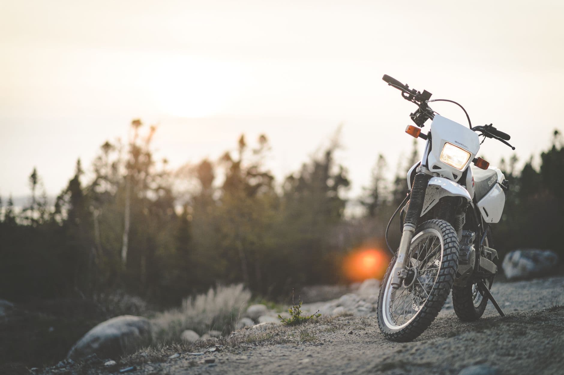
The trail belongs to everyone who rides it.
Free, rider-maintained GPX tracks for cross-country adventure riding. One honest line per route, kept current by the people on it. No paywall, no ads, no account needed to download.
Why this exists
Trail data rots. Riders are the fix.
Roads get paved. Bridges wash out. Gates go up on land that used to be open. Every GPX file starts going stale the day it's drawn, and the only people who know are the ones who just rode through. FreeRoam ADV gives them a place to put that knowledge, and gives everyone else a free, current line to follow.
New to all this? Start with the resources page →- Free, forever
No premium tier, no paywall. This is a commons, run as a non-profit.
- Rider-verified
Fixes only reach the maintained line after independent riders confirm them.
- Scouts honored
The people who found these roads are credited everywhere their work appears.
The flagship
Atlantic to Pacific, 5,954 miles, mostly dirt.
Cape Hatteras to Port Orford in 60 sections of about a hundred miles each. Download the whole thing or just the stretch you're riding this weekend.
- 5,954
- miles
- 60
- sections
- 4
- bypasses
- 74
- waypoints
The line in nine landscapes
East to west, the way most people ride it.
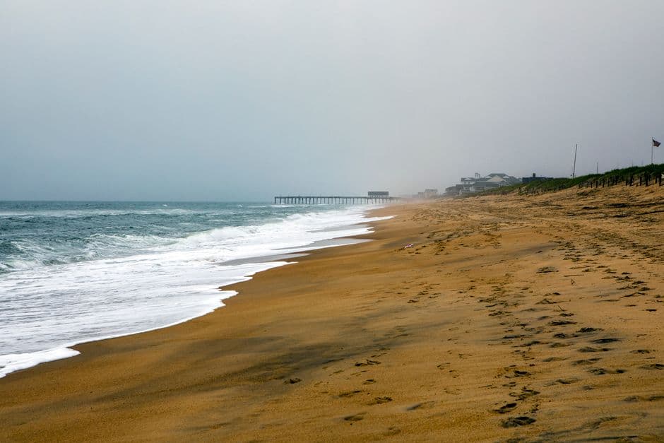
Sand, ferries and salt air. The Atlantic start at Cape Hatteras.
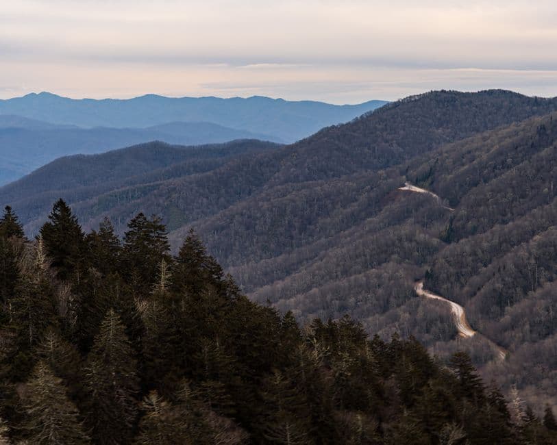
Tight gravel through the Smokies and the Cherokee National Forest.
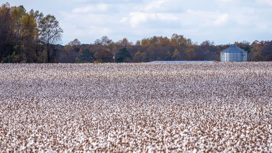
Flat, fast levee roads and the crossing at Helena.
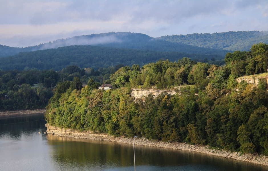
Creek crossings and ridge roads in the Ozark National Forest.
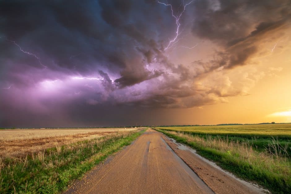
Section roads to the horizon. Wind, wheat and big sky.
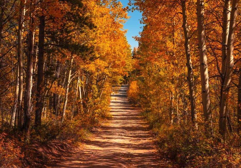
Marshall Pass, Cinnamon, Ophir. The high point of the trip.
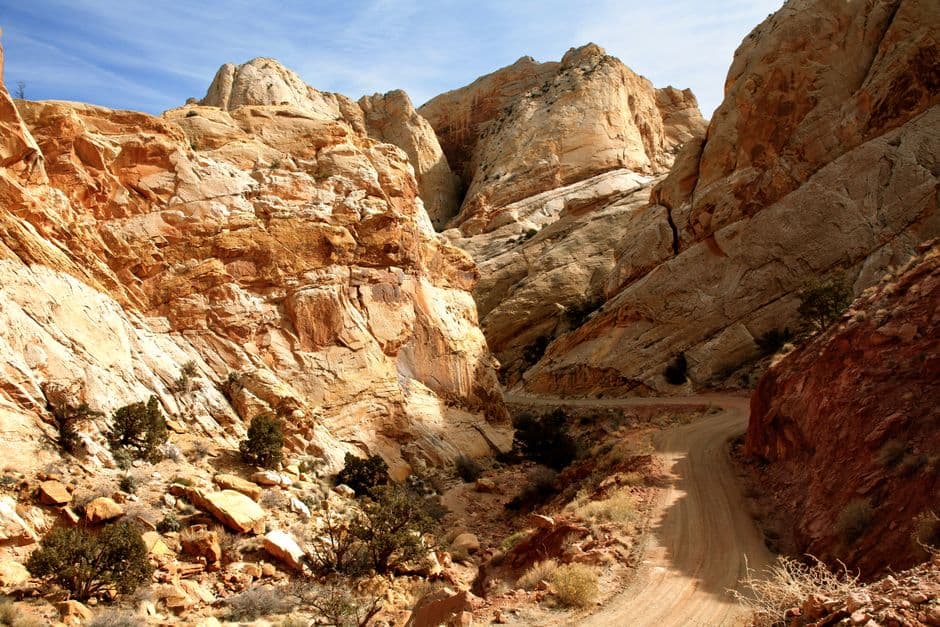
Slickrock, washes and the La Sals above Moab.
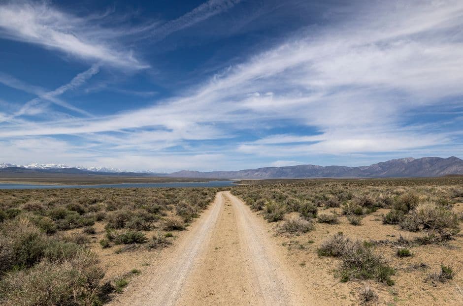
The loneliest stretch. Fuel planning matters here.
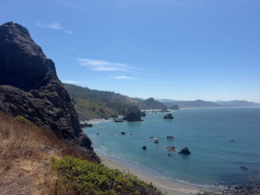
Cascades timber roads down to the Pacific at Port Orford.
More routes
Weekend loops and long ways round.
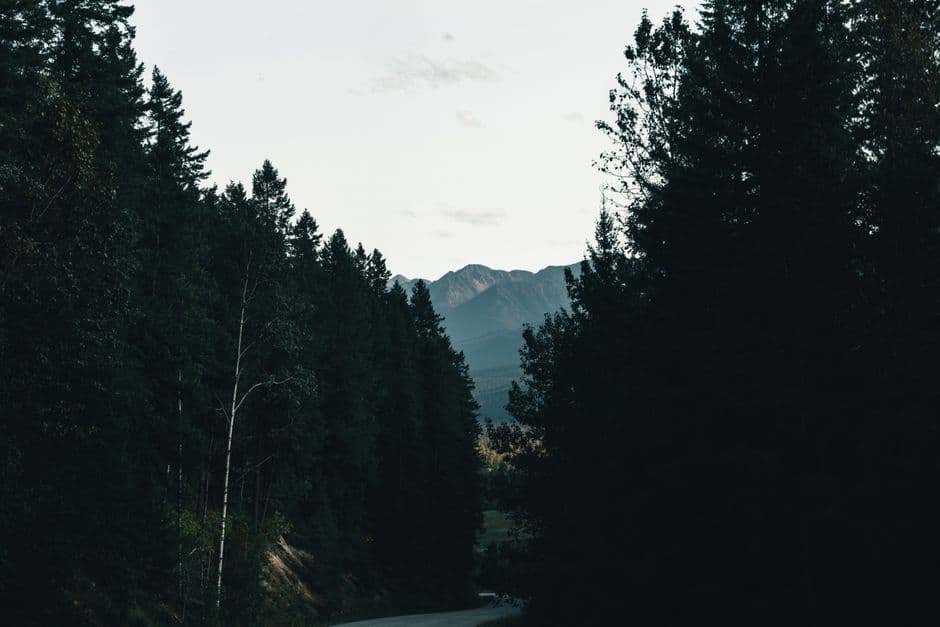
The TCAT route is about 9,800 miles in length. It begins at St. Johns, Newfoundland and ends at Grant Bay on Vancouver Island. It is intended for adventure motorcycle riders and not all sections will be appropriate for 4wd vehicles, such as rail trails. However, these areas often parallel a road that is suitable for 4wds.
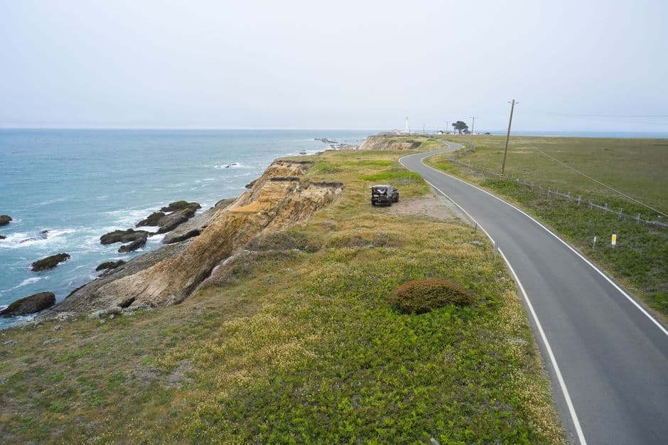
The Lost Coast is one of California's last remaining wild areas. Sheltered from the encroaching concrete jungle by the ruggedness of it's terrain, it makes an excellent adventure ride. The main route is just over 100 miles, but there are many offshoots you can explore if you study your maps. The 20 or so miles between Four Corners and Usal beach can be very slippery on a motorcycle in the rain so use caution. Part of the route is paved but the scenery more than makes up for it. Watch for potholes. Narrow roads and almost no other cars so ride to the right when cresting hills for safety.
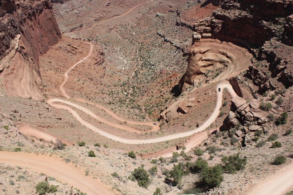
The 100-mile White Rim Road loops around and below the Island in the Sky mesa top and provides expansive views of the surrounding area. Four-wheel-drive trips usually take two to three days, and mountain bike trips usually take three to four days. Adventure bikes can do it in a long day but its best to break it into two or three days so you can camp. The views are worth it. You'll need a free back country permit to ride it so check the NPS website ahead of time. Under favorable weather conditions, the White Rim Road is moderately difficult for high-clearance, four-wheel-drive vehicles. It is big bike friendly in my opinion, I had no issues on a 1250 GSA or a Tenere 700. The steep, exposed sections of the Shafer Trail, Lathrop Canyon Road, Murphy Hogback, Hardscrabble Hill, and the Mineral Bottom switchbacks make the White Rim loop a challenging ride, and require extreme caution for both vehicles and bikes during periods of inclement weather. During high water conditions on the Green River, sections of road on the west side can flood, making a complete loop impossible. Check current road conditions. A Blue Ridge Parkway experience is unlike any other: a slow-paced and relaxing drive revealing stunning long-range vistas and close-up views of the rugged mountains and pastoral landscapes of the Appalachian Highlands. The Parkway meanders for 470 miles, protecting a diversity of plants and animals, and providing opportunities for enjoying all that makes this region of the country so special.
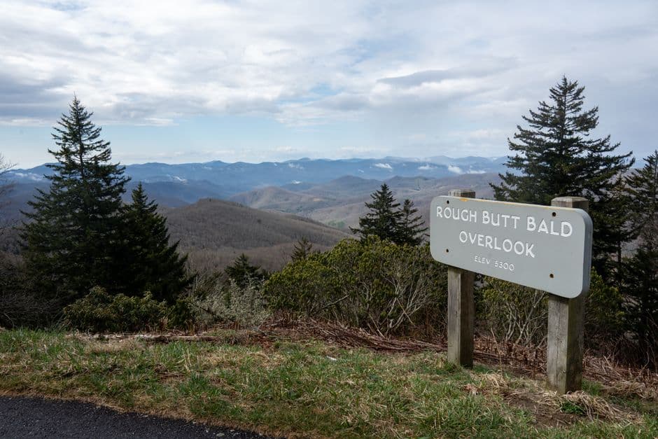
A Blue Ridge Parkway experience is unlike any other: a slow-paced and relaxing drive revealing stunning long-range vistas and close-up views of the rugged mountains and pastoral landscapes of the Appalachian Highlands. The Parkway meanders for 470 miles.
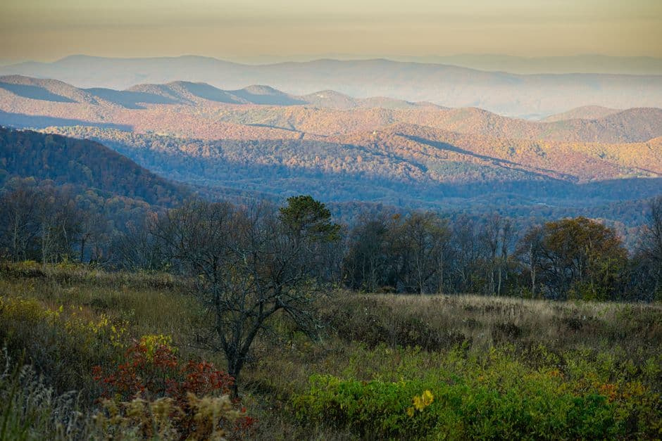
The Skyline Drive runs 105 miles north and south along the crest of the Blue Ridge Mountains in Shenandoah National Park and is the only public road through the Park. It takes about three hours to travel the entire length of the Park on a clear day. Skyline Drive is generally open 24 hours a day / 7 days a week. If it's closed due to inclement weather, you may still enter the Park on foot at one of the entrance stations or from one of the boundary access points.
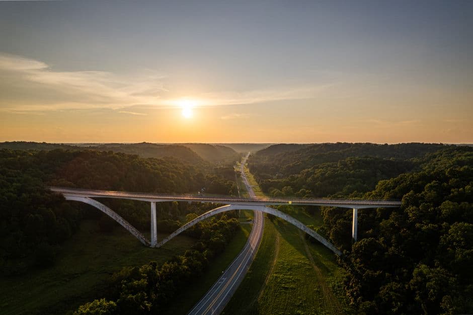
A Drive through 10,000 Years of History. The Natchez Trace Parkway is a 444-mile recreational road and scenic drive through three states. It roughly follows the "Old Natchez Trace" a historic travel corridor used by American Indians, "Kaintucks," European settlers, slave traders, soldiers, and future presidents. Today, people can enjoy not only a scenic drive but also hiking, biking, horseback riding, and camping along the Parkway.
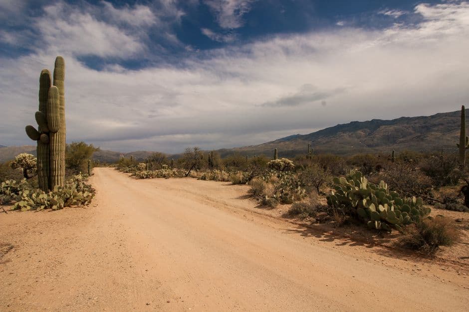
Some great routes through the Kofa Wildlife Refuge. An area named after the King of Arizona Mine, these roads take you to some very remote sections. I wouldn't recommend travelling without a satellite device for emergency use as there is no cell coverage in the east side. Very remote. I have camped two days out here before without seeing another person. Staying at the Hoodoo cabin is first come first serve and is free, looked after by the BLM. My ideal ride is to do an overnight and camp there. The closest towns are Quartzite, AZ to the north and Yuma, AZ to the south. I would ride to Quartzite and top off fuel before exploring if you drive from Yuma. Caution, flash floods and road flooding are common during or just after storms, but roads in this area dry out quickly.
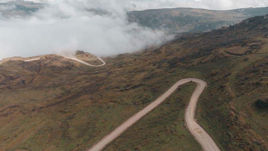
The Alpine Loop leaves pavement and people behind, crossing the remote, rugged, spectacular heart of the San Juan Mountains. It's demanding—the two 12,000-foot passes (Cinnamon and Engineer) require a high-clearance four-wheel-drive vehicle — but the well-prepared motorist reaps unparalleled rewards: pristine mountain views, hiking and biking trails, great camping opportunities, and ample solitude. These rocky roads were first used by 19th-century miners, who carted their ore off to Silverton, Ouray, and Lake City in mule-drawn wagons. Spend an afternoon exploring abandoned town sites, structures, and other former mining haunts—if you want to commune with ghosts of Colorado's rich past. An excellent dual-sport moto route, but the weekends in prime season can be overrun with 4x4's and side-by-sides so be prepared for slower traffic.
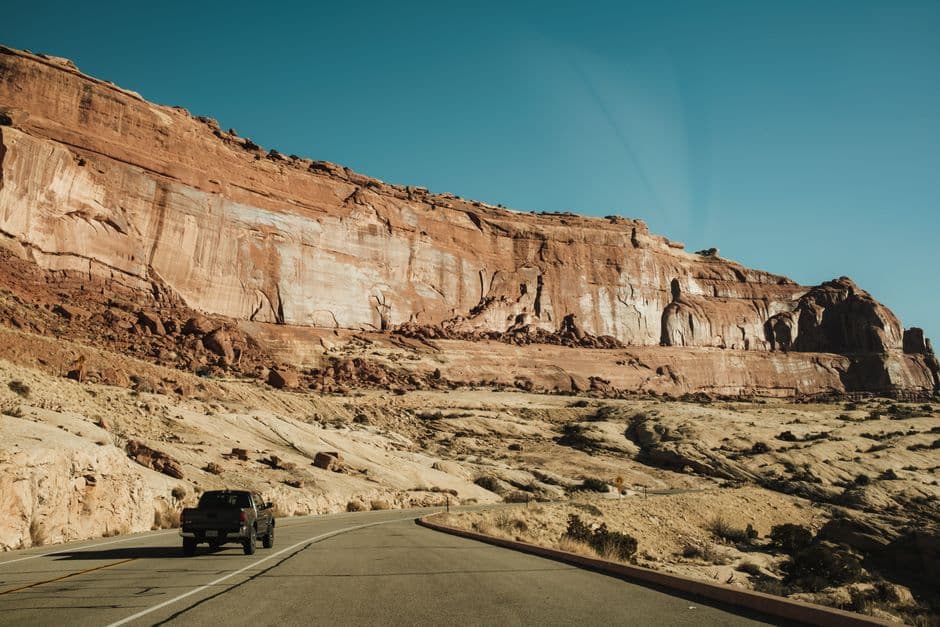
The Mighty 5 is a route I put together that travels on and off road across Utah visiting the 5 National Parks in the southern part of the state. Zion, Bryce Canyon, Capitol Reef, Canyonlands, and Arches. The track also passes the Temple of the Sun and Goblin Valley. There are sections of soft sand so use caution. Section 11 recommended for light bikes or expert ADV riders as it passes through Lockhart Basin. Others should use the Monticello to Moab alternate. Approximately 800 miles.
How the line stays honest
Three layers. One line to ride.
Think of it as version control for dirt, without needing to know what that means. The original tracing is never touched. The line you download is that tracing plus every fix riders have confirmed. Temporary trouble shows up as pins on the map and never ends up in your GPS.
- 1ORIGIN
The baseline, exactly as it was first traced. Locked forever. If anything ever goes wrong with community data, this is still here.
- 2MASTER
The line to ride and the default download. It starts as a copy of ORIGIN and will absorb permanent detours once enough riders confirm them. Today it is still that copy: nothing has been merged yet.
- 3ALERTS
Fires, snow, mud, logging, new fees. Pinned on the map by riders, confirmed or dismissed by riders, never baked into the files.
Where we are
This is a brand-new project. Here is exactly what you are getting today.
The only line available right now is MASTER, and it is an exact copy of One Man Trail's original 2022 tracing. No rider feedback has been merged yet. You can now report conditions and detours straight from the map, and a steward reviews each one before it appears. Treat everything here as a starting point and verify conditions yourself.
- Ten routes on an interactive map: One Man Trail's tracings, unchanged, with his bypasses.
- Clean GPX downloads by route or by 100-mile section, ready for Garmin, Gaia, onX and Guru.
- Report a condition or the detour you rode, straight from the map, no account needed. A steward reviews it before it shows.
- A handful of alerts placed by hand from published closure notices.
- Rider accounts, so you can confirm or dismiss what others reported.
- Automatic merging of confirmed detours into the maintained line.
- Regional stewards, and public-land overlays so every mile is visibly legal.
Standing on other people's work
Somebody found these roads first.
The coast-to-coast line follows the corridor of the Trans-America Trail, which Sam scouted over more than a decade and maintained until his retirement in 2025, when he handed it to Brent “Homer” Smith. This site is not affiliated with them, this is not the official route, and none of their files are here. If you ride it, buy the official roll charts and current tracks. That is what keeps the trail alive.
Support Sam at transamtrail.com →A rider who crossed the country twice recording every day, then hand-drew the whole line in 100-mile sections so it sits on the actual road, and gave it away because he was tired of watching people struggle with coarse files. His 2022 tracing is the baseline here, shared as is. FreeRoam ADV exists to keep that kind of work from going stale, and to keep it free.
Full credits and how merging works →